JPC Weather Pirate Disclaimer
Copyright © 1998 - JPC WX PIRATE HQ
We are viewed by action sports enthusiasts needing Guam weather information. Our links take you to the best Guam weather, typhoon, earthquake, tsunami and ocean tides information. Guam weather and storm information is provided in 'real time' with updates every 2 to 5 seconds.
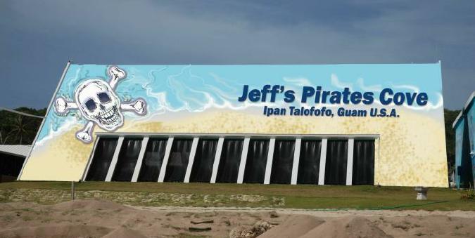
Come and enjoy our great beach location at Jeff's Pirates Cove, we have the best home made cheeseburgers on Guam. Our beer is always cold, we have red rice and BBQ ribs and chicken keleguen. Guam's best kite/wind surfing spots is right in front of Jeff's Pirates Cove on Guam. Daily tours of Jeff's Pirates Cove are
available, jungle ride with coconut demonstration. Up to date Guam weather information from Jeff's Davis Weather Station via our website "weather.jeffspiratescove.com". Surf and tide forecasts from the National Weather Service Guam Office for Guam waters. Jeff's Pirates Cove Weather Center
is the best source for the latest typhoon tracking information. View live video stream from our Pirate CAM during Guam's daylight hours. RSS feeds displayed by Jeff's Pirates Cove Weather Center on Guam include Apra Harbor, Andersen Air Force Base, and NWS Guam observations, active watches, warnings and advisories,
typhoon warnings and Ipan Buoy wave height feeds. Latest satellite and weather radar images for Guam are displayed along with current tide information from the Pago Bay Guam tide station. Jeff's Weather Center also places real-time NWS observations taken at Guam International Airport into it's weather station
trends image every 30 minutes. Current weather information for Guam surfers, windsurfers, kite boarders, kayakers, paddlers, stand-up-paddlers (SUP), sailors, boaters, fishermen, reef walkers and all beach goers. Both Weather Underground (WUG) and Jeff's Weather Center wind statistics are displayed in
near real-time and 10 minute history graphs. Jeff's Weather Center archives it's weather station data at several locations, the Weather Underground (WUG), the Citizen Weather Observer Program (CWOP) and the Automatic Weather Map System (AWEKAS). Our off-site storage sites should be bookmarked for access should our
server be down. We use Davis weather station equipment and Ambient Weather Virtual Weather Station software to drive our data to multiple sources. We have links to Jeff's Pirates Cove main website, and Jeff's Coral Reef Home where we've compiled information on the Pirates Cove history and the effects of
pollution on the Cove's reefs. Looking to buy a home on Guam, need a map of Guam to find Jeff's Pirates Cove, want to contact Guam realty sites, have shipping requirements to Guam, have you booked your hotel rooms on Guam, like to golf while visiting Guam, find Guam insurance providers or just find out more
information on Guam. Book a day tour to Jeff's Pirates Cove at 671-789-COVE (2683). As of January 2017, Uncle Morty is no longer affiliated with JPC, this website or the Davis Weather Station at JPC.


 >
>